GEOSPATIAL MAPPING & MODELING
Actionable Visual Data for Progress Monitoring and Planning
Aerial Mapping & Photogrammetry


Orthomosaic Mapping
Starts at $399
(Up to 5 Acres)
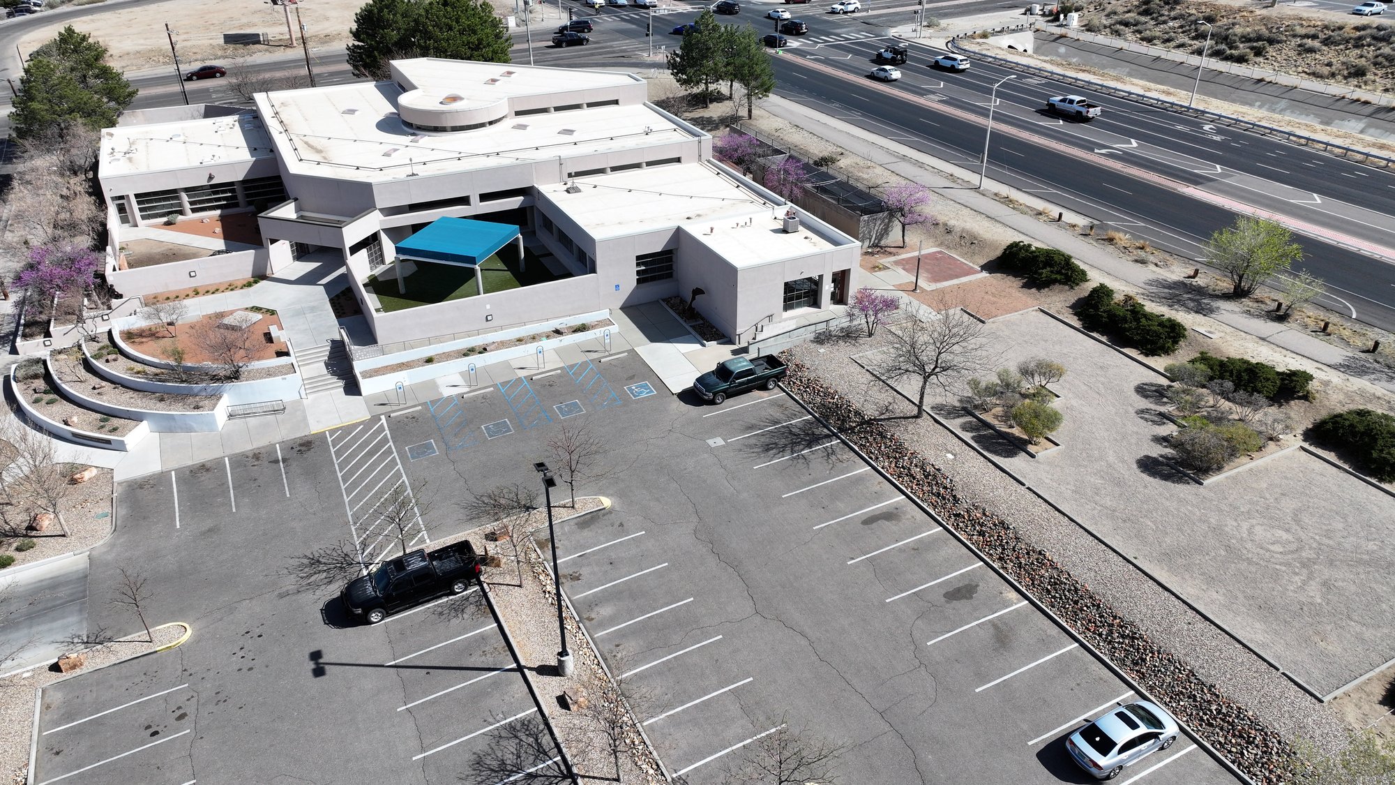
Capture top-to-bottom orthomosaic imagery and detailed topographic maps of land and existing developments. These high-fidelity visuals are ideal for site assessment, planning layouts, and providing stakeholders with a comprehensive, measurable overview of the area.
Virtual Aerial Solutions
Coming Soon!
Call for a Quote
Obtain essential aerial views, even in restricted airspace. This service bypasses FAA flight limitations by using sophisticated satellite imagery and existing geospatial data to generate professional-grade virtual aerial video coverage. Perfect for site feasibility studies, zoning proposals, and providing compliance documentation where drone operations are impossible.
3D Asset Modeling
Create highly accurate visual digital twins of any physical item—from buildings and infrastructure to vehicles and merchandise. These immersive 3D models provide an unparalleled perspective for investor presentations, facility management, and e-commerce catalogs, allowing stakeholders and customers to interact with your product or asset online like never before. This technical data is a superior tool for communicating complex details and driving engagement.
Immersive Digital Twins


3D Virtual Tours
Starts at $149
(Simple interior 3D tour for residential listings - up to 97% accuracy)
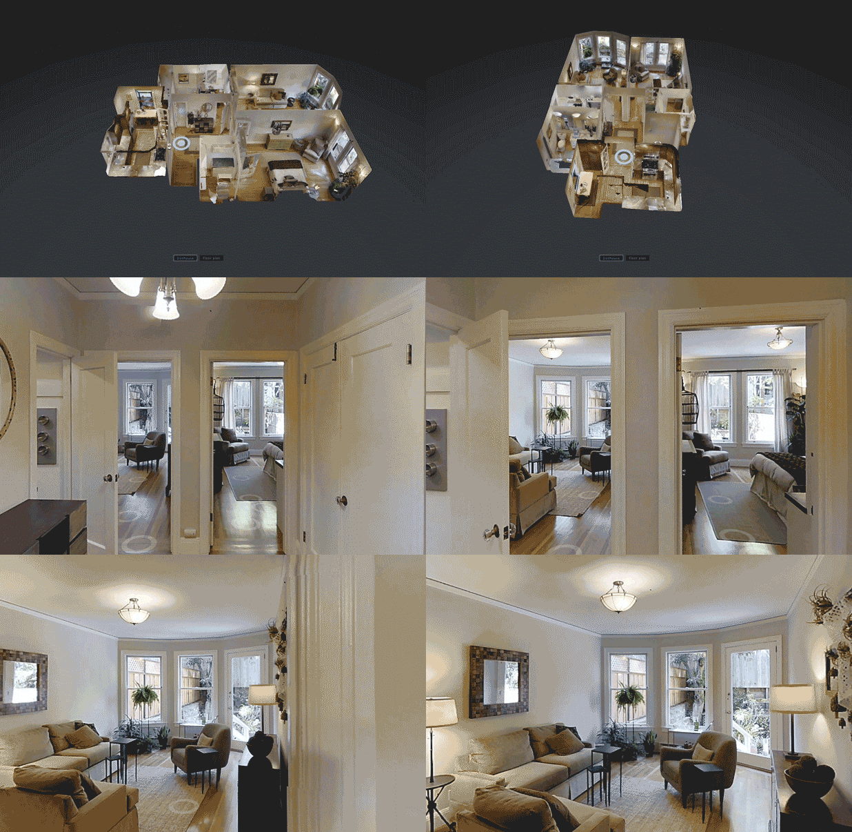
Provide buyers and stakeholders with the power to move through a listing as if they are truly there. We generate high-accuracy 3D tours (powered by Zillow or Matterport) for both residential and commercial spaces, significantly boosting engagement and lead qualification.
Aerial Virtual Tours
Refer to the Interactive Immersion (Aerosphere) service
Pre-Visualization Video
Coming Soon!
Call for a Quote
Visualize your development before breaking ground. We create dynamic, cinematic video simulations by integrating conceptual 3D models seamlessly into actual aerial footage of the proposed site. This is a powerful, high-impact tool for driving excitement in pre-construction marketing, planning proposals, and investor presentations, allowing stakeholders to experience the future concept visually.
1.jpg?width=1961&height=1100&name=Photo%20Bucket%20(38)1.jpg)